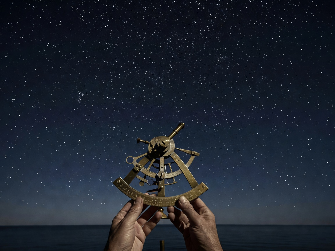
Why Celestial Navigation Remains Relevant in 2026
In an era of satellite navigation, GNSS constellations, and electronic chartplotters, why should modern offshore sailors master the sextant? The answer lies in total self-reliance. Power failures, lightning strikes, satellite signal jamming, and cyber interference can render glass cockpits dark within seconds.
Celestial navigation relies solely on immutable celestial geometry: the position of the sun, moon, planets, and 57 selected navigational stars relative to the observer's horizon.
Core Sight Reduction Tools
To obtain an astronomical Position Line (LOP), a navigator requires four basic tools:
- A Metal or Plastic Sextant: To measure index error and the exact sextant altitude ($Hs$) of a body above the horizon.
- Accurate UTC Timekeeper: A reliable quartz chronometer accurate to within seconds.
- The Nautical Almanac: Daily pages providing Greenwich Hour Angle ($GHA$) and Declination ($Dec$) for celestial bodies.
- Sight Reduction Tables (Pub No. 229 / Pub No. 249): Pre-calculated trigonometric spherical triangles converting Assumed Position into Calculated Altitude ($Hc$) and Azimuth ($Zn$).
The Intercept Method (Marcq St. Hilaire)
Intercept (a) = True Altitude (Ho) - Calculated Altitude (Hc)
• If Ho > Hc: The observer is TOWARDS the body's geographical position.
• If Ho < Hc: The observer is AWAY from the body's geographical position.
Step 1: Latitude by Noon Sight (Meridian Passage)
The simplest and most reliable sight is the solar Meridian Passage ("LAN" - Local Apparent Noon), occurring when the sun reaches its highest arc due south or north of the observer. At this precise moment, latitude can be calculated without complex sight reduction tables:
Latitude = (90° - Ho) ± Declination
This yields an accurate latitude line of position (LOP) with minimal opportunity for mathematical error.
Step 2: Twilight Star Triples
During nautical twilight (morning or evening), when both the sea horizon and major stars are simultaneously visible, a navigator takes three sights spaced 120° apart in azimuth. Plotted on a chart, the three intercept lines intersect to form a small "cocked hat" triangle, confirming the yacht’s fix within 1 to 2 nautical miles.